
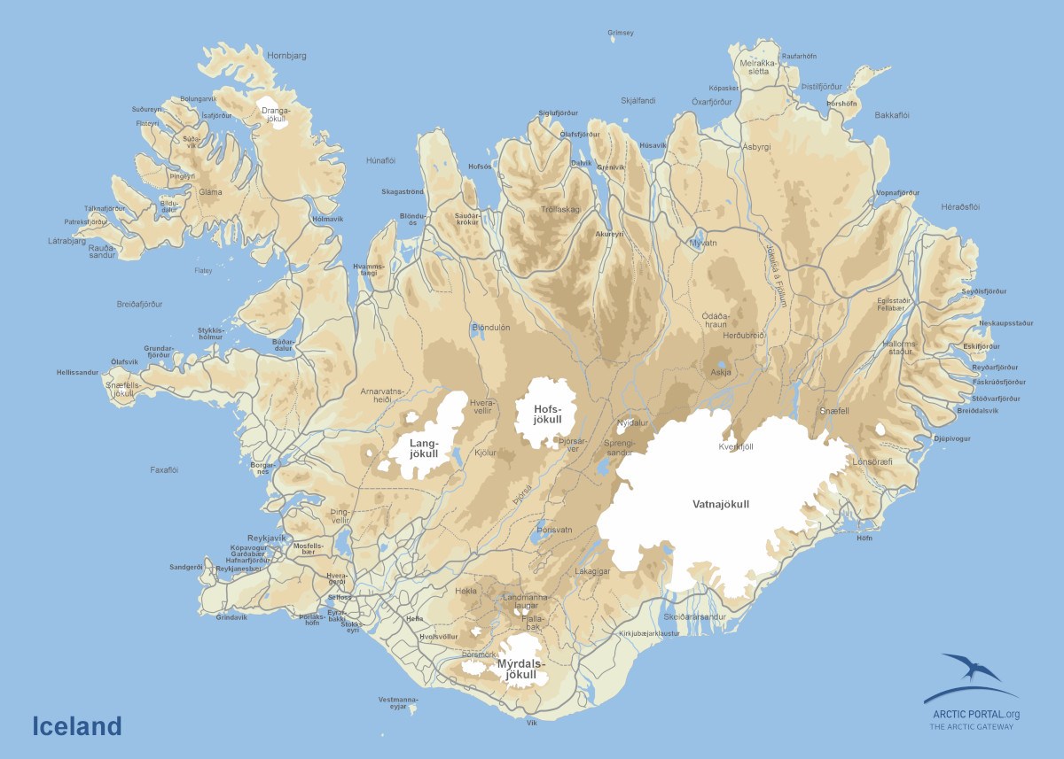
Iceland
This is a map of Iceland. Iceland is a Nordic island nation covering about 103,000 square kilometers, with Reykjavík as its capital and largest city. Geologically, it sits on the Mid-Atlantic Ridge, making it highly volcanic and geothermally active. Formed from basaltic lava, Iceland features glaciers, geysers, and active volcanoes, with continuous land formation due to rifting and eruptions.
© Arctic Portal 2006-2026
Last updated: February 2025
Source
Arctic Portal