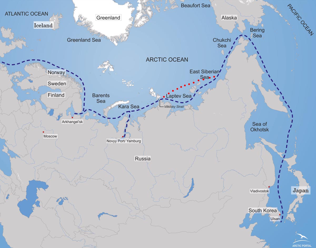
The Northern Sea Route was busier then ever this year. In total, 34 vessels used the route, a significant increase from only 4 in 2010.

The route was open for one month longer than last year, but this still shows that the route is becoming more feasible and more popular.
The number is for ships that sailed from Murmansk to another country, Russians being the leading shipping operators in the NRS.
The cargo in 2010 was 111.000 tons but in 2011 it went to 820.000.
15 of the 34 vessels transported liquid cargo (682.000 tons), three carried bulk (110.000 tons), four refrigerator ships transported salmon (27.500), two vessels transported general cargo and ten vessels sailed in ballast, according to the Barents Observer.
This year also saw the largest super tanker and the largest bulk carrier to go through the route.
The map illustrates a new route, which opened up in the summer.
Sources: Rosatomflot, RIA Novosti and BarentsObserver.
